
An Officially Approved Full Geological & Archaeological Research Project Begins
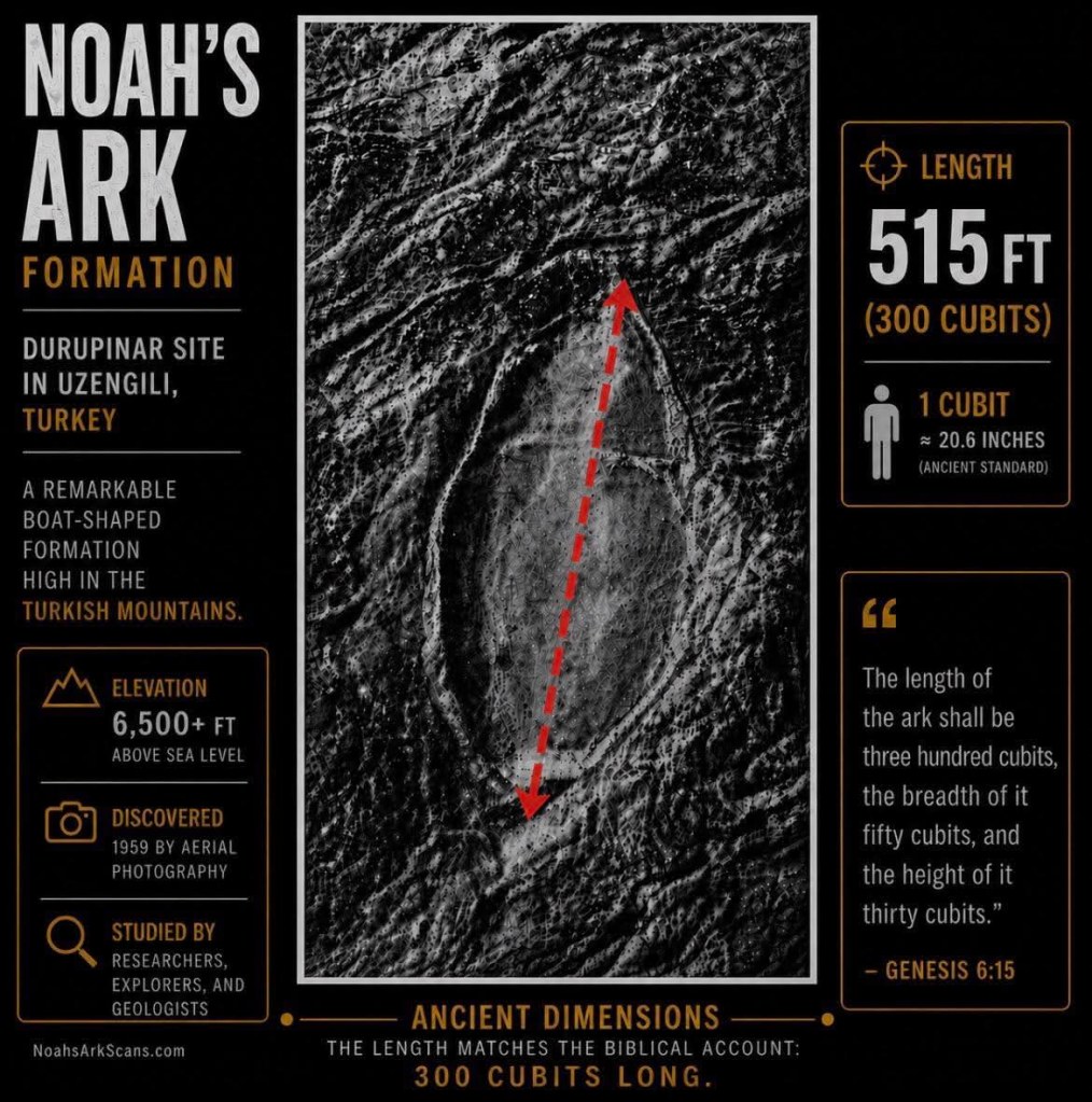
The dimensions of what is known as the “Durupinar Formation” are central to the case for its identification as the real Noah’s Ark.
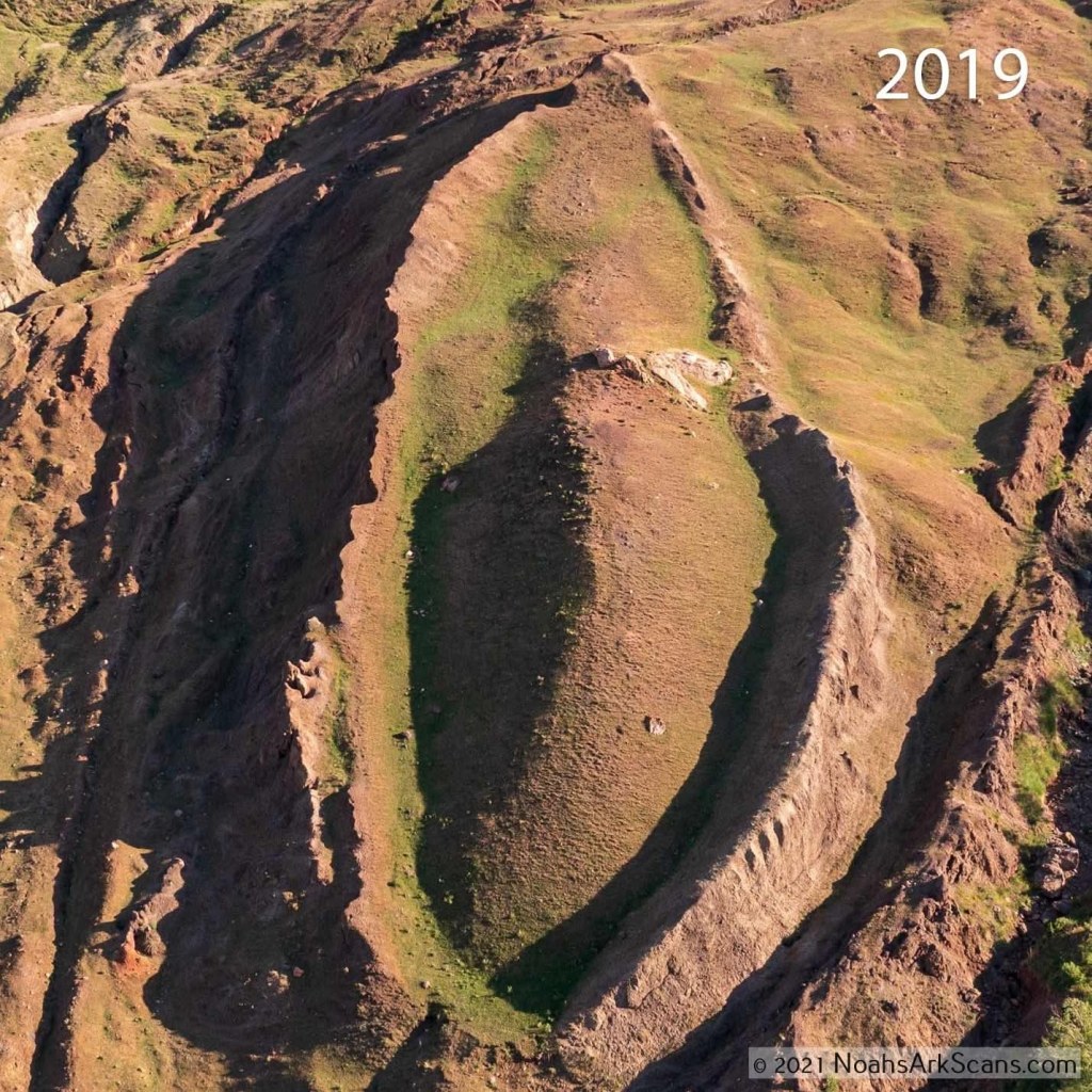
The formation measures 515 feet in length, which corresponds closely to 300 Egyptian royal cubits — the exact Biblical measurement given in Genesis 6:15 for the length of the Ark.
The width-to-length proportions also fall within the range described in the biblical account.
At approximately seven meters below the surface, GPR imaging has revealed geometric subsurface patterns that appear to represent internal compartments. These include corridors running the full length of the structure and cross-members intersecting at regular intervals, consistent with the structural framework of a large vessel.

The first-century Jewish historian Josephus wrote that the remains of the Ark were still visible in his era and that people took pieces of it as relics. The Babylonian priest Berossus, writing in the 3rd century BC, recorded that local people scraped bitumen from the vessel to use as protective charms.
The Quran identifies the Ark’s resting place as Al-Judi (Surah 11:44), a name that has been associated with the hills surrounding the Durupinar site by local populations for generations.
Marco Polo, traveling through the region in the 13th century, described Mount Ararat and referenced the tradition of the Ark resting in its mountains. These historical accounts, spanning nearly two millennia, converge on the same geographic area where the Durupinar formation is located.
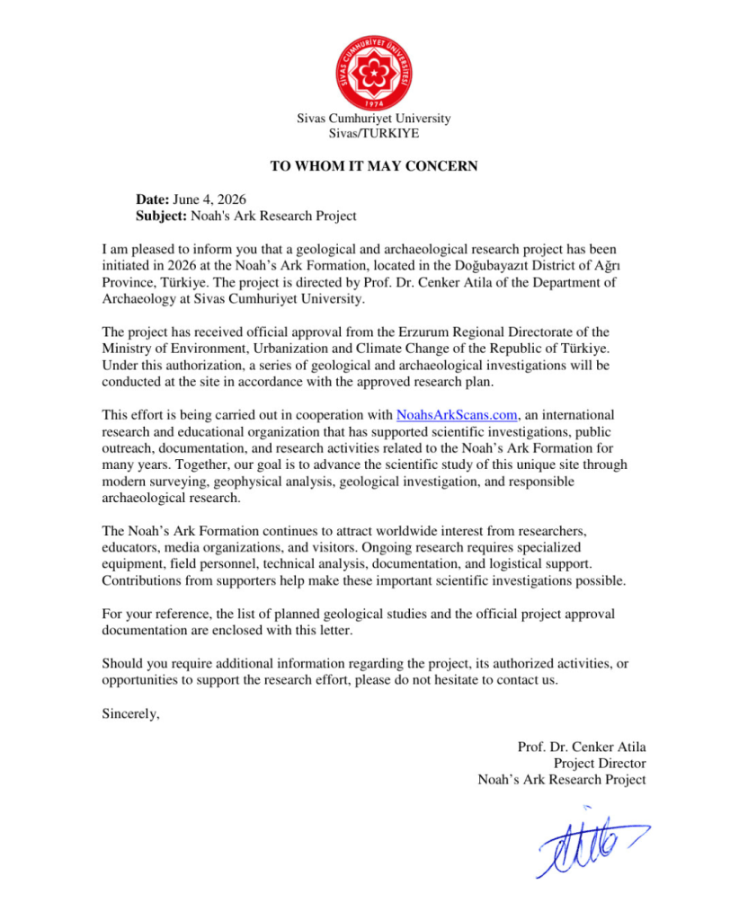
In June 2026, a full geological and archaeological research project was initiated at the Noah’s Ark formation in the Doğubayazıt District of Ağrı Province, Turkey. The project is directed by Prof. Dr. Cenker Atila of the Department of Archaeology at Sivas Cumhuriyet University, and is carried out in cooperation with Noah’s Ark Scans.
The project has received official approval from the Republic of Turkey. Under this authorization, a series of geological and archaeological investigations will be conducted at the site in accordance with the approved research plan — a milestone after decades of patient, non-invasive study.
With data from sample and chemical analysis, the team is building a complete subsurface map of the formation. This year’s 2026 Turkish Government’s Scientific Project marks a major milestone.
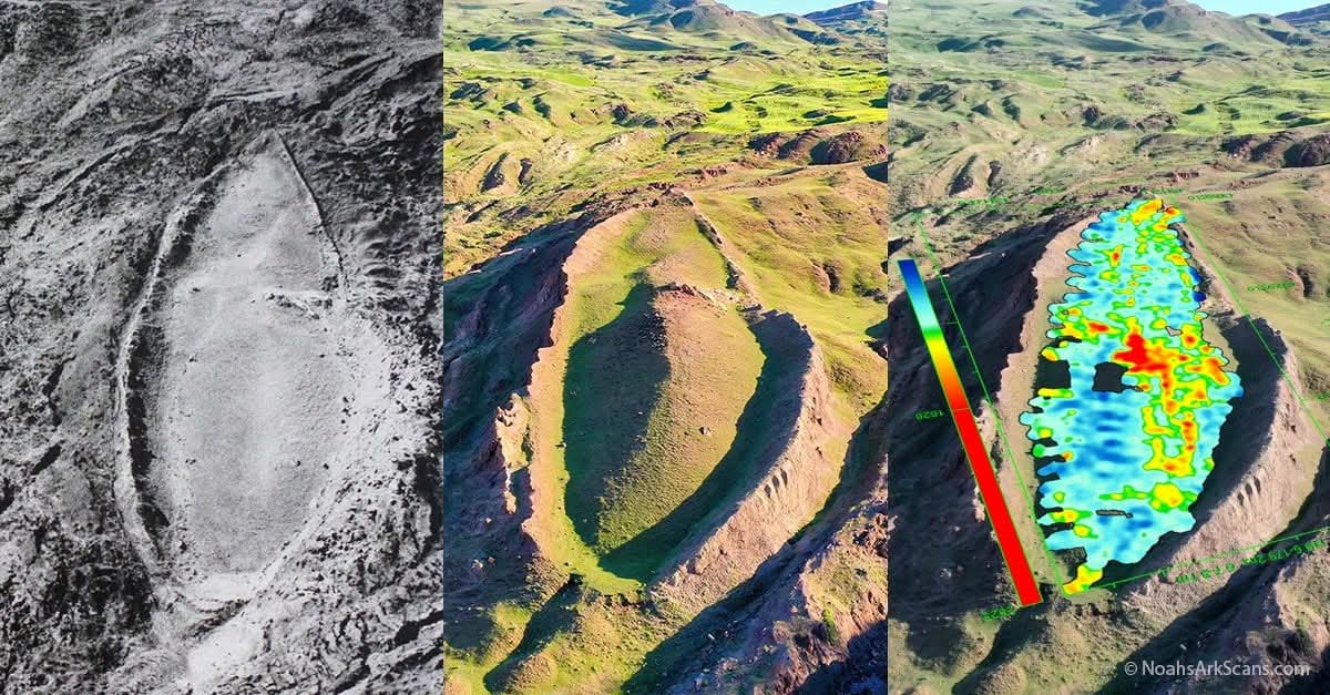
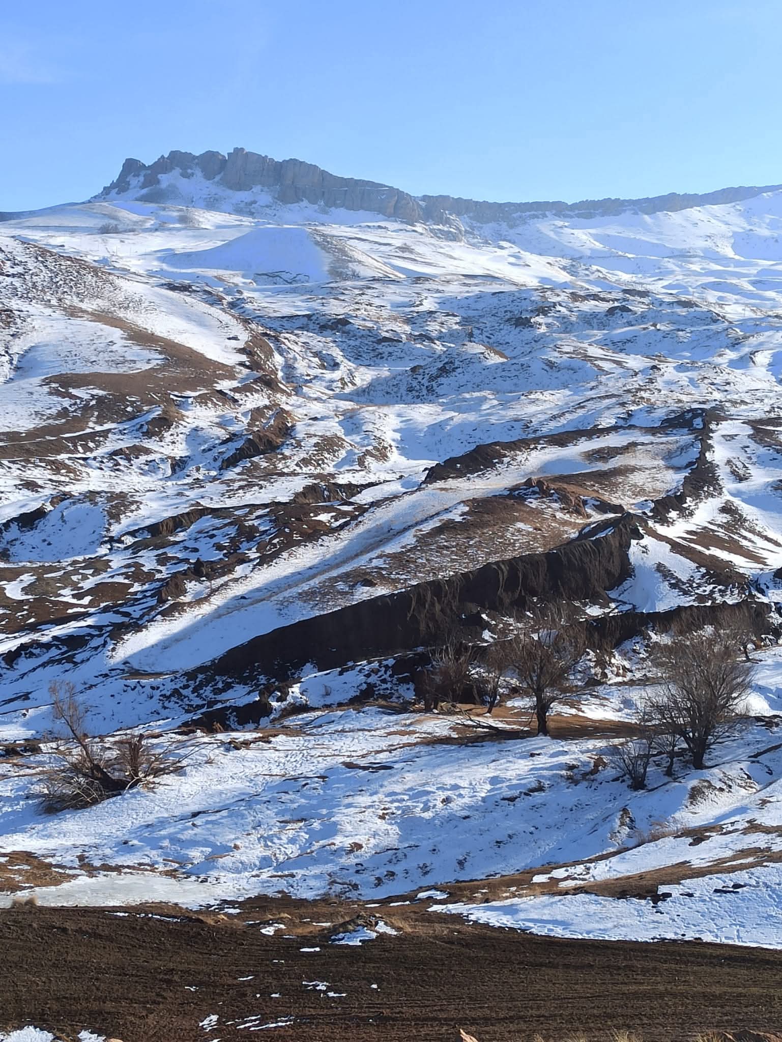
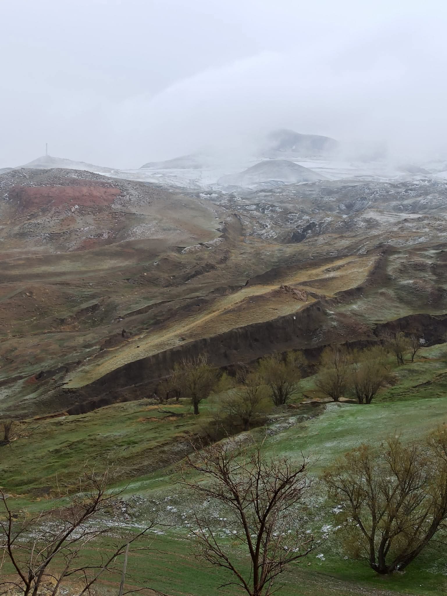
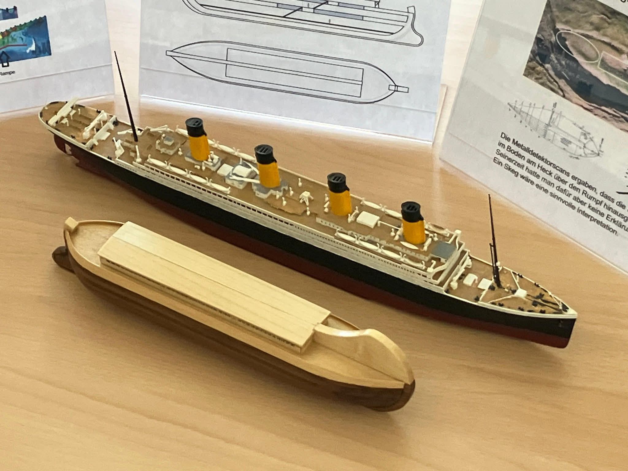
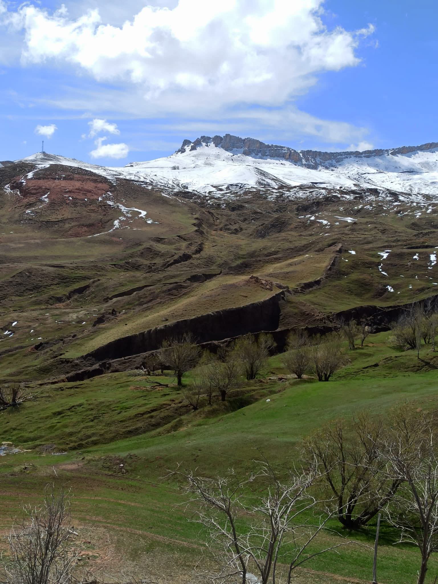
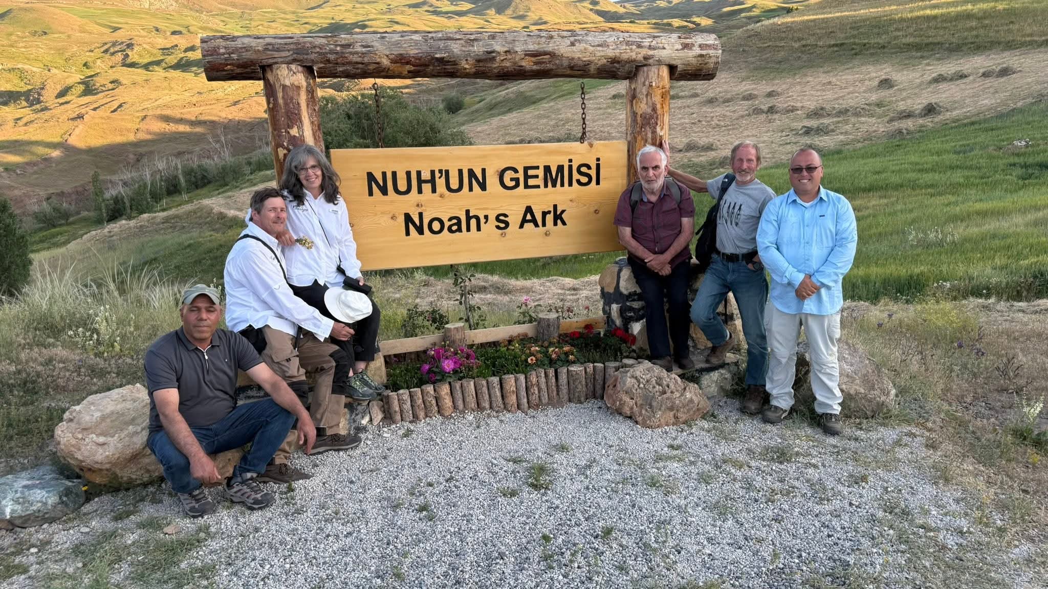
What about excavations? Excavations can only happen after geophysical surveys are finished and core drilling is done — a methodical approach that uses core drilling (3-6 inch diameter holes) before any possible excavation is done by professional archaeologists to determine subsurface layers.
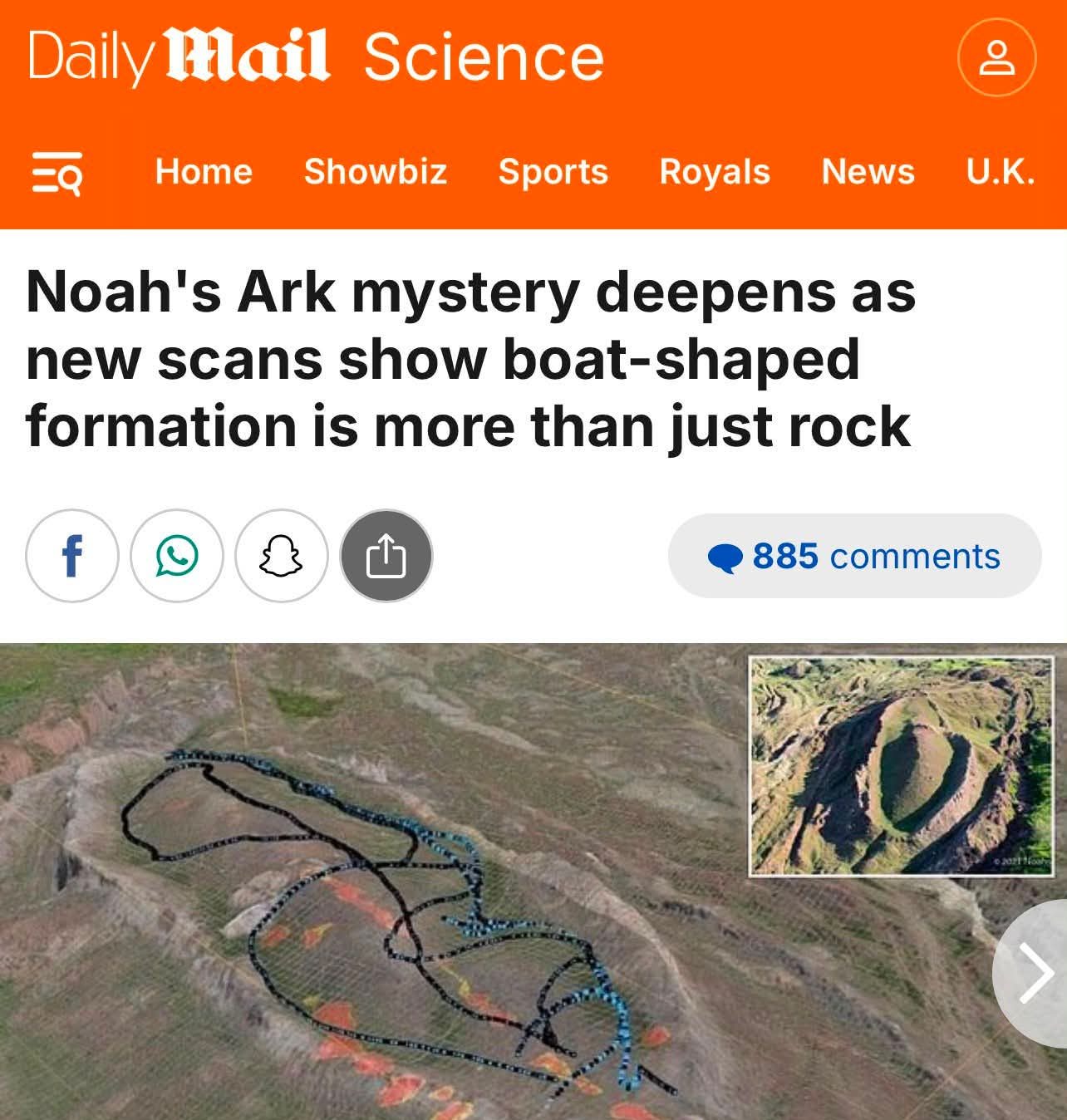
Each expedition brings new data, new questions, and new insights.





IN GOD WE TRUST




To receive free email notification, when we post new articles like this, sign up below. Clever Journeys does & will not sell or share your information with anyone.

Thanks for supporting independent true journalism with a small tip. Dodie & Jack



Wow, Noah’s Ark very interesting. Thank you!
LikeLiked by 4 people
This is amazing. Hopefully, this will prove to be another archaeological discovery verifying Biblical Truths. 🙂
LikeLiked by 3 people
Amen to that!
LikeLiked by 2 people
My stepfather, Franklin Jack Maisel, was making preparations to go there before his death in 2022. His dream was to help in the discovery of the Ark in Turkey! He had friends on the project there. This is amazing. God never ceases to amaze me.
LikeLiked by 1 person